

US agriculture agency launches pilot using satellite imagery, geospatial tools, crop models and artificial intelligence to improve acreage and yield estimates and reduce reporting burdens on farmers.
BOONE, Iowa: The US Department of Agriculture (USDA) is launching a pilot project that will make greater use of satellite imagery, artificial intelligence and other technologies in an effort to improve the accuracy of closely watched crop acreage and yield estimates, as the agency faces mounting criticism from farmers and traders over the reliability of government agricultural data.
US Agriculture Secretary Brooke Rollins announced the initiative on Sept. 1 at the Farm Progress Show in Boone, Iowa, following a month-long series of listening sessions with farmers and agricultural groups.
The initiative forms part of the USDA’s broader Data Modernization Plan, which aims to improve the timeliness, accuracy and usefulness of agricultural information while reducing the reporting burden on producers.
Satellite imagery to strengthen crop estimates
Under the pilot, the USDA will evaluate improved satellite imagery in collaboration with NASA and other federal agencies to determine how the technology can make crop reporting more accurate.
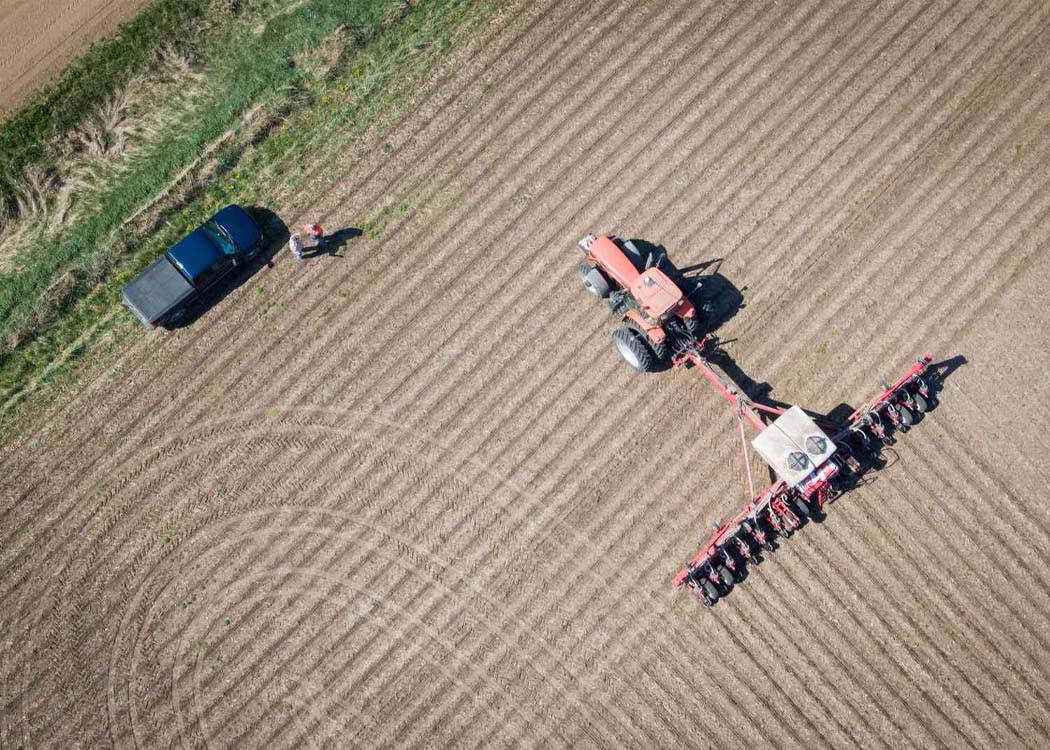
The department also plans to use geospatial tools, crop models and other emerging technologies alongside information reported directly by farmers. The approach is intended to strengthen estimates of both planted acreage and crop yields rather than relying solely on traditional survey-based methods.
USDA officials have said the agency will also examine optional field-level inputs that could help enhance and ground-truth yield estimates, while continuing yield-related research with agricultural partners and land-grant universities.
AI and machine learning included in modernization plan
Artificial intelligence and machine learning are also being considered as part of the USDA’s effort to modernize its data and technology platforms.
The department said it plans to expand secure data-sharing capabilities and evaluate responsible applications of AI and machine learning as it updates its technology infrastructure.
The modernization effort also includes greater use of administrative data, improved mobile access to surveys and opportunities to use prefilled information where appropriate. The USDA says these measures could reduce duplicate requests and the amount of time farmers spend providing information.
Farmer and trader concerns over USDA data
The technology push comes amid criticism of the reliability of USDA agricultural data, particularly after problems with crop estimates affected farmers and commodity traders.
The agency’s acreage and yield reports are closely watched because they can influence expectations for crop supplies, commodity prices and farm income.
Uncertainty surrounding agricultural estimates can have significant consequences for producers and markets. More accurate information can help farmers, traders, agribusinesses, researchers and policymakers make decisions related to production, marketing, risk management and resource allocation.
The USDA has acknowledged the need to improve the way agricultural information is collected and reported as it seeks to rebuild confidence in its data.
Reducing the burden on farmers
The modernization plan is not limited to crop forecasting. USDA also wants to make the process of providing information easier for producers.
The department plans to expand administrative data use, improve survey accessibility through mobile platforms and explore prefilled reporting fields where appropriate.
These measures are designed to reduce repetitive reporting while maintaining access to the producer information considered important for accurate agricultural estimates.
The USDA said reliable agricultural information has been central to its mission since the department was established in 1862. Its data are used for crop and livestock estimates, risk-management tools, disaster assistance and business and policy decisions across the agricultural sector.
A shift toward technology-driven agricultural data
The pilot represents a broader shift toward combining traditional farmer-reported information with satellite observations, geospatial analysis, crop modelling and artificial intelligence.
Rather than replacing producer information entirely, the USDA’s approach is intended to combine different sources of data to improve the accuracy of crop estimates.
The department will assess how effectively these technologies can supplement existing reporting methods before determining how they could be incorporated more broadly.
The initiative comes as US farmers face continued economic pressures and heightened scrutiny of agricultural policy, making reliable information on crop conditions, acreage and yields increasingly important for the sector. The USDA has said the modernization effort is intended to deliver agricultural data that are more timely, accurate and useful while making the reporting process less burdensome for the farmers who supply much of that information.